What NASA and IBM released
NASA announced the NASA-IBM Lunar Foundation Model on September 10, 2026, describing it as one of the first open-source AI models built specifically for lunar science. The NASA announcement says the model, code, datasets and benchmarks are available for research and experimentation. Its purpose is to help scientists adapt a pretrained system to lunar mapping tasks instead of building a specialised model from the beginning each time.
The phrase foundation model can invite comparisons with chatbots, but this system is designed around scientific imagery and terrain data. It does not mean a computer has independently understood the Moon or replaced planetary scientists. Pretraining gives researchers a reusable starting point; people still select data, define tasks, assess errors and interpret what the outputs mean. The practical news is faster experimentation on a large, carefully assembled body of lunar observations.
What data went into the model
NASA says the training set contains roughly two million image tiles, including more than one million high-resolution camera images at about one-metre resolution and nearly 964,000 multispectral images at about 100-metre resolution. Most came from the Lunar Reconnaissance Orbiter, with additional imagery and terrain information from GRAIL, Lunar Prospector and Japan’s SELENE mission. The mixture matters because surface shape, reflected light and spectral measurements reveal different aspects of lunar terrain.
A large training collection is not automatically a complete or neutral view of the Moon. Illumination, instrument characteristics, resolution and geographic coverage influence what a model can learn. NASA specifically notes that changing lighting conditions can affect the visibility of smaller craters. Anyone reusing the model should document the input product, preprocessing and target region, then inspect failure cases rather than treating an output overlay as a finished scientific conclusion.
Craters, volcanism and polar ice
The model can be adapted to map craters, identify irregular mare patches and estimate where ice may remain stable near the lunar poles. Crater counts help researchers estimate relative surface ages. Irregular mare patches are unusual volcanic features that may inform the Moon’s thermal history. Polar cold traps are scientifically important because permanently shadowed regions can preserve ice for very long periods and may matter to future exploration planning.
These are separate tasks with different evidence requirements. A crater outline is not a date by itself; a mapped feature must be measured and interpreted. An ice-prospectivity estimate is not the same as drilling into the surface and confirming usable water. The model can prioritize areas for closer analysis, but follow-up data and domain expertise remain essential. Readers should be cautious when a colourful prediction map is described as if it were a direct photograph of subsurface material.
Why open release matters
NASA links the model to public resources on Hugging Face and describes integration with the open-source TerraTorch toolkit. Open weights, code and benchmark material can let outside teams test the system, compare methods and adapt it to new questions. That transparency supports reproducibility more directly than a demonstration available only through a closed interface. It also gives students and researchers a concrete artefact to examine rather than a product claim alone.
Open source does not remove every barrier. Lunar data are large, specialist knowledge matters, and meaningful evaluation can require substantial computing resources. A public model can also be used poorly if results are shared without uncertainty or provenance. Responsible reuse means recording the model version, training or fine-tuning data, evaluation method and any manual corrections. Those details allow another team to understand what was done and whether a comparison is fair.
How to evaluate the claims
Start with the task-level evidence. NASA reports that the model matched or exceeded strong baselines across evaluated tasks, with a clearer advantage for estimating polar ice stability. That is more precise than saying it is the best lunar model in every setting. Examine the companion material for datasets, metrics and splits, and check whether a new use resembles the conditions used in evaluation. Performance on one kind of terrain does not guarantee equivalent performance elsewhere.
Ask what a false positive or false negative would cost. Missing a small crater may affect a count; incorrectly prioritizing a landing study could waste more expensive investigation. The appropriate threshold depends on the decision downstream. AI output should therefore be one layer in a scientific workflow, alongside raw observations, established mapping methods and expert review. Our explainer on checking AI answers against sources offers a general version of this evidence-first habit.
What this changes for lunar science
The immediate benefit is scale. Lunar missions have produced more imagery than researchers can inspect manually feature by feature. A reusable model can help screen vast collections, surface candidate changes and accelerate production of maps that scientists then validate. It may also make it easier to transfer methods between crater mapping, volcanic-feature identification and polar studies, provided each adaptation receives its own evaluation.
The longer-term significance will depend on what independent users reproduce and discover. An open model becomes scientifically valuable through transparent testing, documented limitations and findings that survive expert scrutiny. NASA and IBM have supplied infrastructure for that process; they have not announced an autonomous Moon scientist. That measured interpretation is still exciting: better tools can give researchers more time to ask why a pattern exists after the machine helps locate where to look.
Questions the open model should help answer
Can the model find every lunar crater? No such claim appears in NASA’s release. Its crater-mapping capability is a tool that must be evaluated against reference data, especially for small features affected by lighting. Can it prove where water ice exists? It can estimate ice stability or prospectivity from patterns in available data, but direct confirmation requires other observations and, ultimately, physical investigation. These distinctions keep a useful prediction from becoming a false statement of certainty.
Who can use it? NASA presents the resources as open for testing and experimentation, which broadens access beyond the original team. Practical use still requires suitable computing, familiarity with geospatial data and a scientifically defensible evaluation plan. For students, the most valuable first step may be reading the model card and reproducing a documented example. Reproduction teaches how data become predictions and exposes assumptions that disappear in a finished map.
Sources
- NASA, IBM Launch AI Foundation Model for Lunar Science
NASA | Published | Checked
- IBM NASA Geospatial models
Hugging Face / IBM and NASA | Checked
- Lunar Reconnaissance Orbiter
NASA | Checked
Editorial disclosure
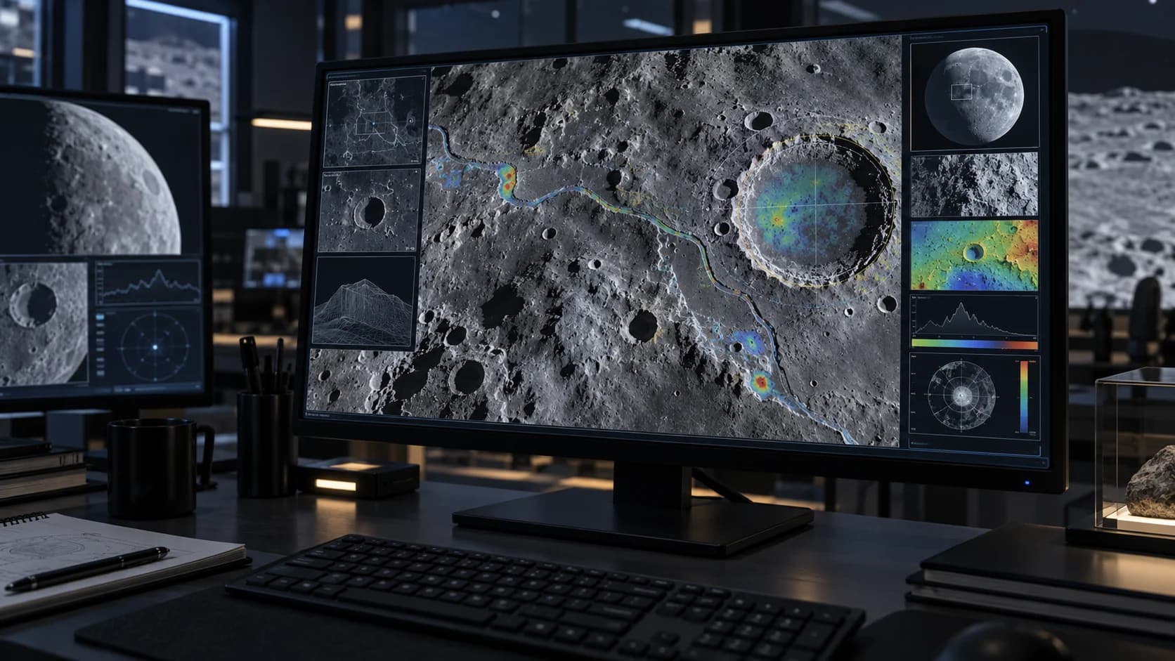
Prepared with AI assistance from NASA’s announcement and linked project materials checked September 15, 2026. This is an explanatory overview, not an independent benchmark or scientific validation. The featured image is AI-generated and does not show the actual model interface.